

GIS-Based 3D modeling for Characterization of a Secondary Gem-bearing profile: A Case Study in Kelani River Basin
Accurately estimating deposit thickness and characterizing sedimentary layers in secondary gem deposits in Sri Lanka, is crucial for optimizing resource utilization and minimizing environmental impact. Traditional methods, including manual surveys and surface mapping, often lack the spatial resolution needed to assess subsurface variations effectively.
Objectives
- To Characterize the Sedimentary Layers in the Deposit- Identify and evaluate the mineralogical content of the deposit to distinguish gem-bearing horizons from barren sediments, aiding in resource estimation and extraction planning.
- To Estimate the Thickness of the Secondary Gem Deposit- Analyze and classify the different sedimentary layers based on their composition, grain size, and depositional characteristics to understand the formation and structure of the deposit.
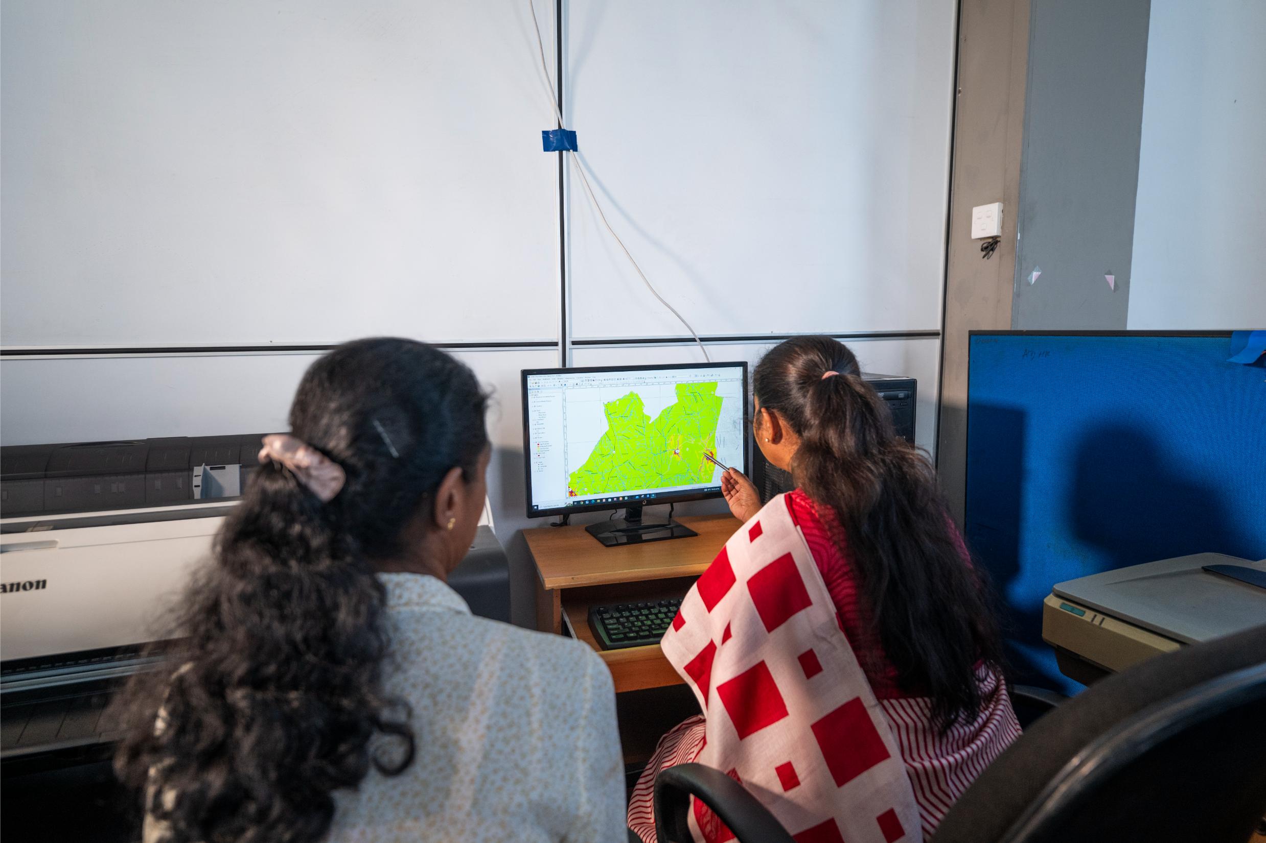
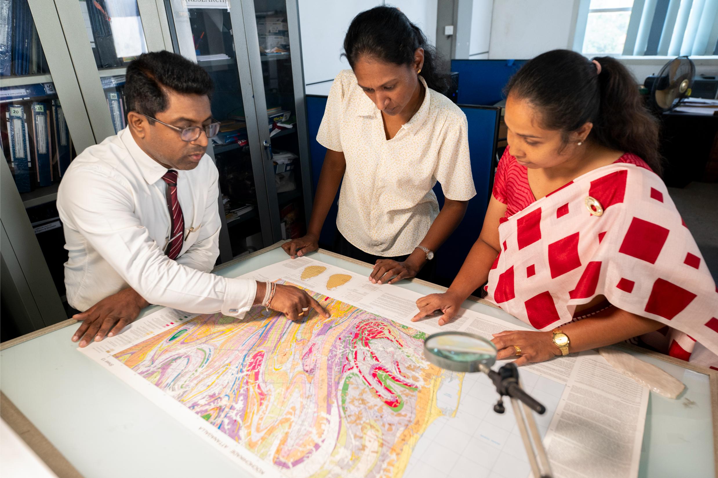
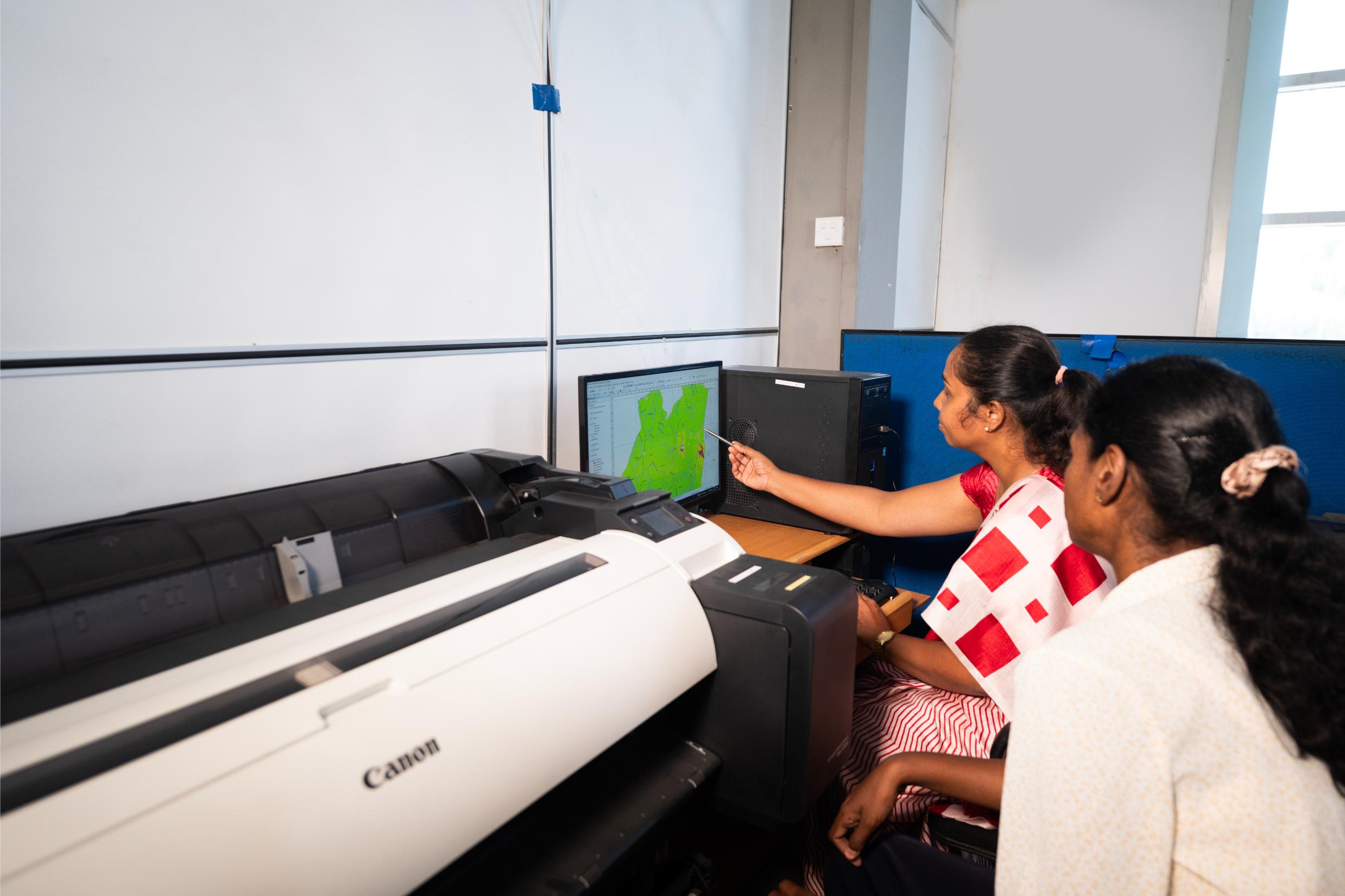
- To Develop a GIS-Based 3D Model for Visualizing the Deposit Structure- Integrate the data into a GIS framework to generate a 3D model that provides a comprehensive visual and analytical representation of the subsurface deposit.
- To Enhance the Accuracy of Deposit Estimation for Sustainable Resource Management the precision of secondary gem deposit assessments to support better decision-making in mining, resource utilization, and environmental impact mitigation.